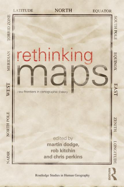
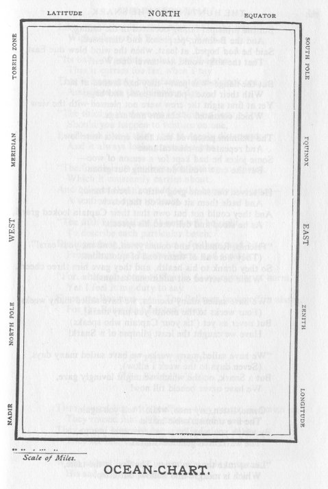
 How do you like front cover for the new paperback edition of Rethinking Maps: New Frontiers in Cartographic Theory? (Routledge, $44.95, greatly reduced from the $150.00 hardcover edition.) It pays homage to Henry Holiday’s famous “Ocean-Chart” illustration for Lewis Carroll’s The Hunting of the Snark (1876), pictured below. (We might add a second question, Doesn’t it ruin the concept of the “perfect and absolute blank” to put something in it?) The collection of essays, edited by Martin Dodge, Rob Kitchen, and Chris Perkins, features such groundbreaking articles as “Cartographic representation and the construction of lived worlds: understanding cartographic practice as embodied knowledge” by Amy D. Propen.

He had bought a large map representing the sea,
Without the least vestige of land:
And the crew were much pleased when they found it to be
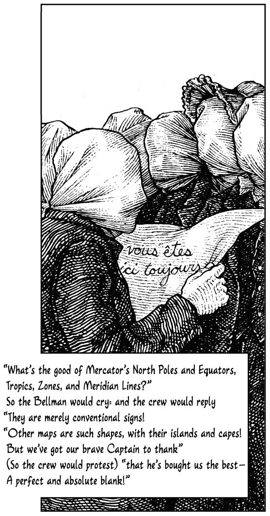
A map they could all understand.“What’s the good of Mercator’s North Poles and Equators,
Tropics, Zones, and Meridian Lines?”
So the Bellman would cry: and the crew would reply
“They are merely conventional signs!“Other maps are such shapes, with their islands and capes!
But we’ve got our brave Captain to thank:
(So the crew would protest) “that he’s bought us the best —
A perfect and absolute blank!”-Lewis Carroll, The Hunting of the Snark, Fit the Second
And here’s Mahendra Singh’s illustration of the same passage, from his beautiful 2010 graphic novel edition ($14.95.) It was discussed in a previous blog post, Tingling Singh’s Bell.


There will be more on Maps in a forthcoming edition of KnightLetter. Doug H
Thanks, Doug – exciting!
You ask…
(We might add a second question, Doesn’t it ruin the concept of the “perfect and absolute blank” to put something in it?)
Oh, does it ever! That’s why the cover (another homage to the Ocean Chart) of Alan White’s Snark Safari, which has just been distributed to LCSNA and LCS (UK) members, is so perfect.
Does the book mention Carroll’s other brilliant map, the 1:1 scale map in Sylvie & Bruno Concluded?
http://www.flickr.com/photos/bonnetmaker/6061407019/ is the Ocean Map scanned from an 1876 Macmillan Snark. There also are links to vevtorized versions (PDF and SVG), You can produce some letter paper with these images.